Gotaleden, stage 2 Skatås – Kåsjön
Stop: Welandergatan and Åstebo
Zone A

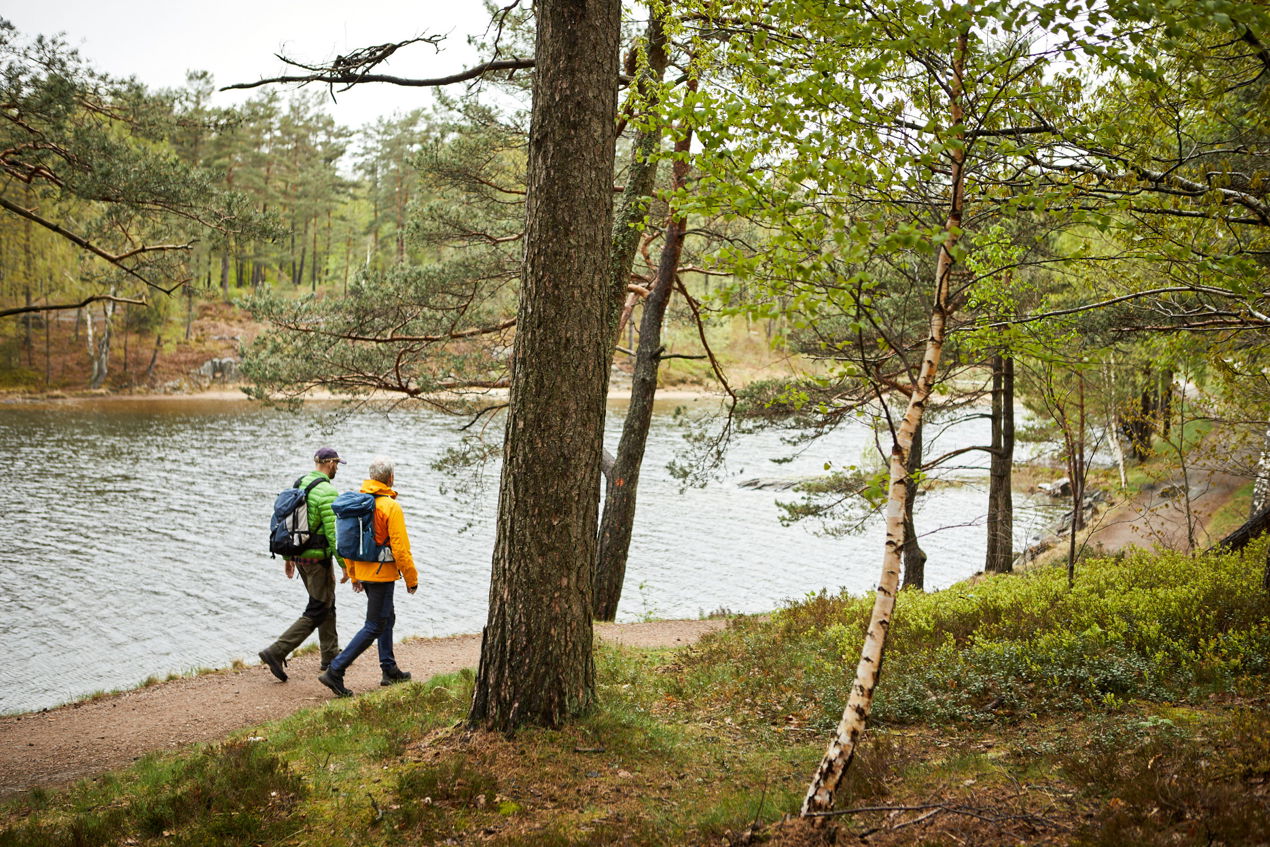
Hike between lake and pond and up over the mountain Getryggen. Once up on Getryggen, you can enjoy the wide view of Gothenburg and take the opportunity to take a break in the windbreak. The final destination for this hike is Kåsjön's large swimming area with toilets and kiosk that is open in the summer. The stretch between Skatås outdoor recreation area and Kåsjön is part of Gotaleden.
Length: 10 kilometers
Height difference: 153 meters
Difficulty: medium
Time required: about 2.5 hours
Ramsvikslandet
Stop: Ramsviksvägen
Zone C

Hike Ramsvik around on rocks with the sea as a view to the west. The cliffs consist of red bohus granite and shift in bright pink tones. On the east side you are also met by forest and pastures. You also pass several nice bathing places along the way. Some parts of the trail are challenging with level differences and rocks. Here you both start and finish at the Ramsviksvägen stop, one kilometer from the start of the hiking trail.
Length: 14 km
Height: 47 m
Difficulty: Challenging
Time required: about 5-6 hours
Pilgrimsleden, Storås – Jennylund
Stop: Angered centrum and Bohus station
Zones A and B

Between the stops Angered centrum and Bohus station you walk across Vättlefjäll. It is a large mountain plateau full of coniferous forest, heather and lakes. For those who are interested in growing and botany, there is a chance to see several rare species. Vättlefjäll lies between the Göta Älv valley in the west, Rannebergen and Lövgärdet in the southwest and in the south to lärjeåns dalgång. To the north and east, forest areas connect in Ale and Lerum municipalities.
Length: 12 km
Difficulty: medium
Time required: about 3 hours
Map and further information Pilgrimsleden Storås-Jennylund
Dyröleden
Stop: Dyrön norra
Zone B

When you hike around Dyrön, you get a lot of archipelago feeling. The trail offers cliffs, swimming area and views of the mighty coastal landscape. Marstrandsfjorden, Pater Noster and Åstol are some points to rest your eyes on. If you want to get an even more breathtaking view, you can take a detour to one of the viewpoints. The terrain is rocky and hilly in places. If you're lucky, you might come across the wild mouflon sheep grazing freely here. A small grocery store with coffee and lunch service is available on the island.
Length: 5 km
Difficulty: Medium to severe
Time required: circle 2.5 hours
Kinnekulleleden, Hällekis – Trolmen
Stop: Hällekis station and Trolmen station
Zone C

This hiking trail starts at the shores of Lake Vänern and then runs over meadows, through lush forests and down to Lake Vänern again. During the hike, you can take a dip and take the opportunity to make a detour to the "small Grand Canyon" or the Great Quarry as the 40-meter-deep limestone quarry is called. The bottom layers are an incredible 400 million years old! Kinnekullebanan is also said to be the most beautiful train track in Sweden, just such a thing. Toilets, shelters and a café are located along the way.
Length: 11 km
Difficulty: medium
Time required: about 3 hours
Further information about the route Hällekis – Trolmen
- Published 2022-12-09